GeoSpatial
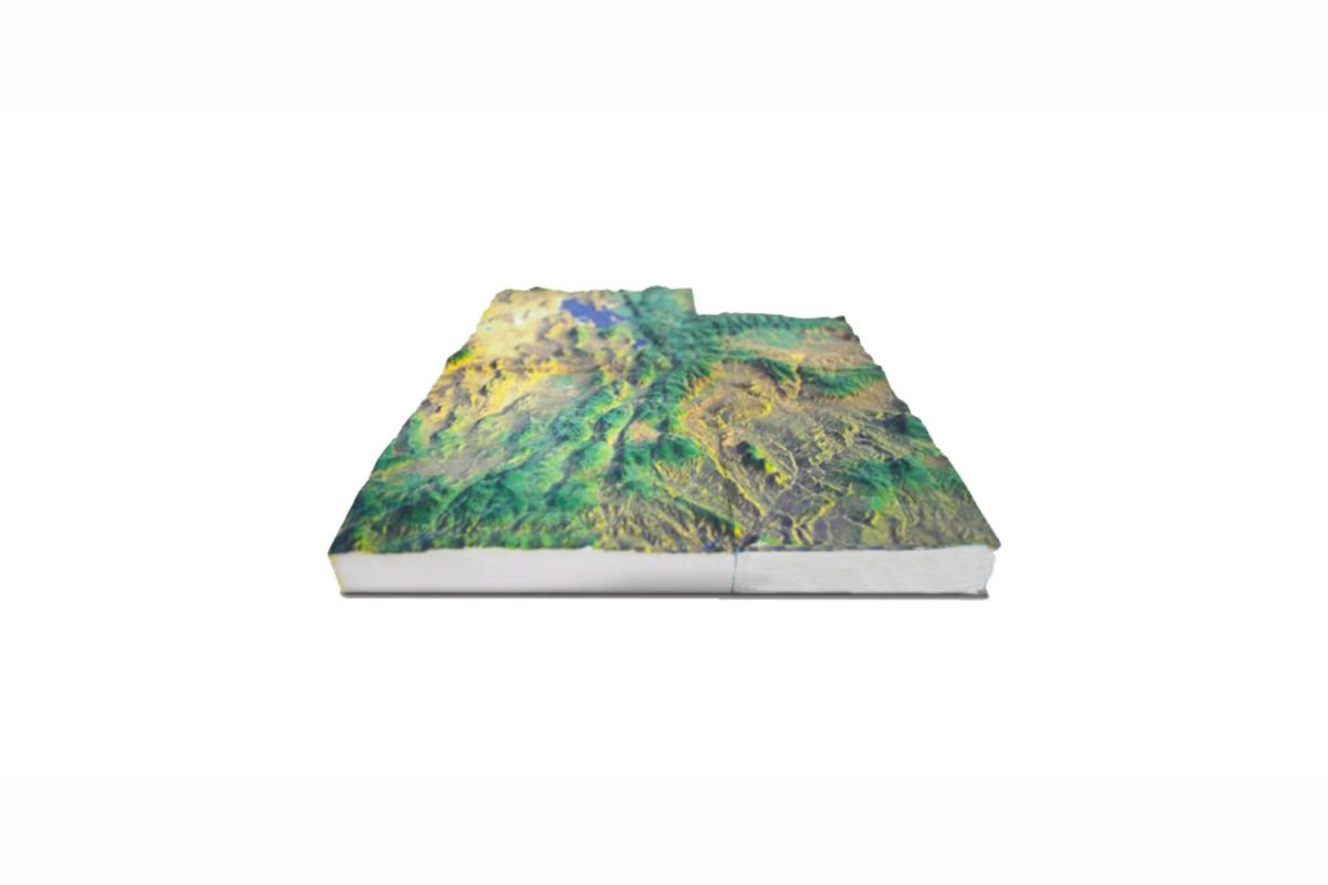
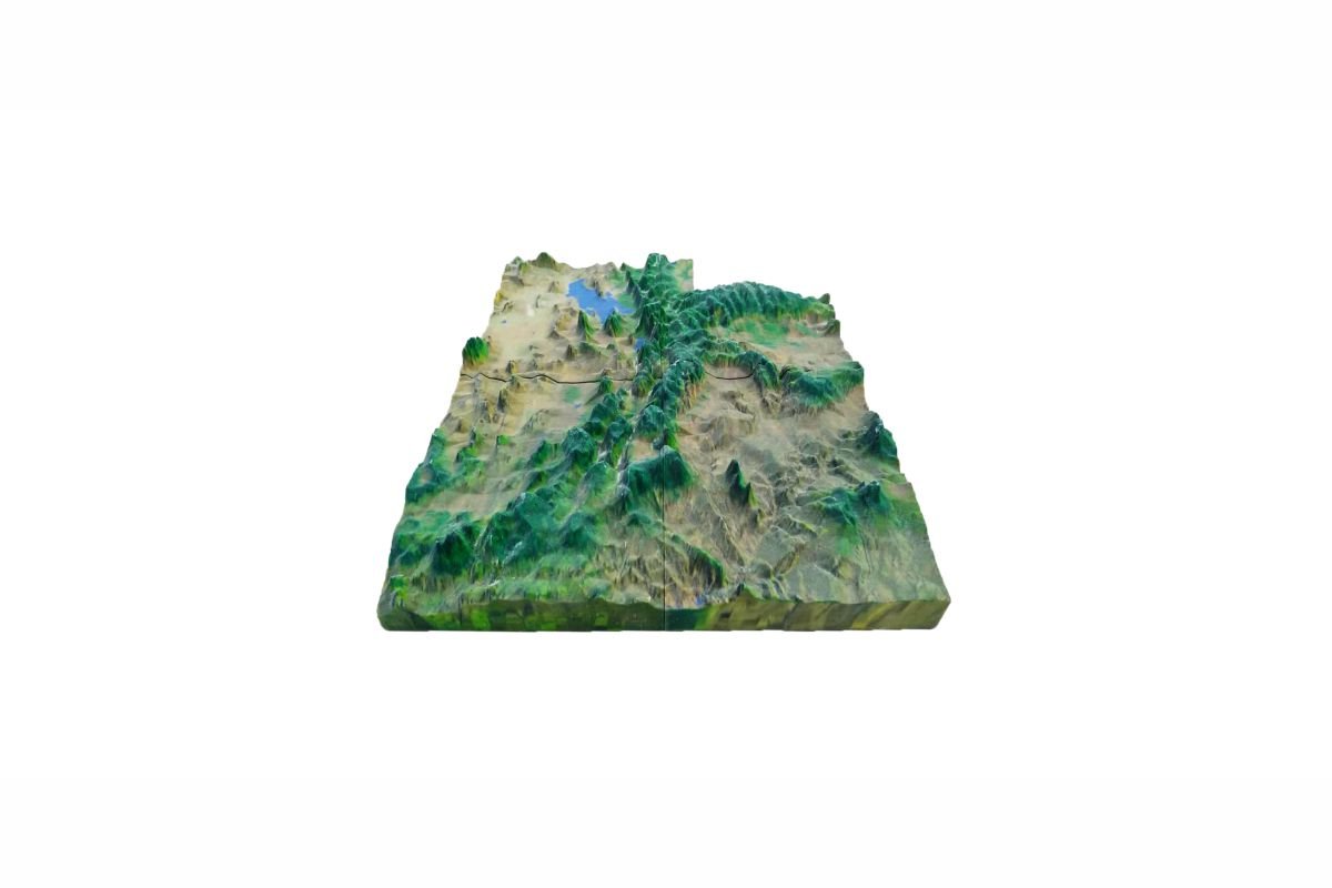
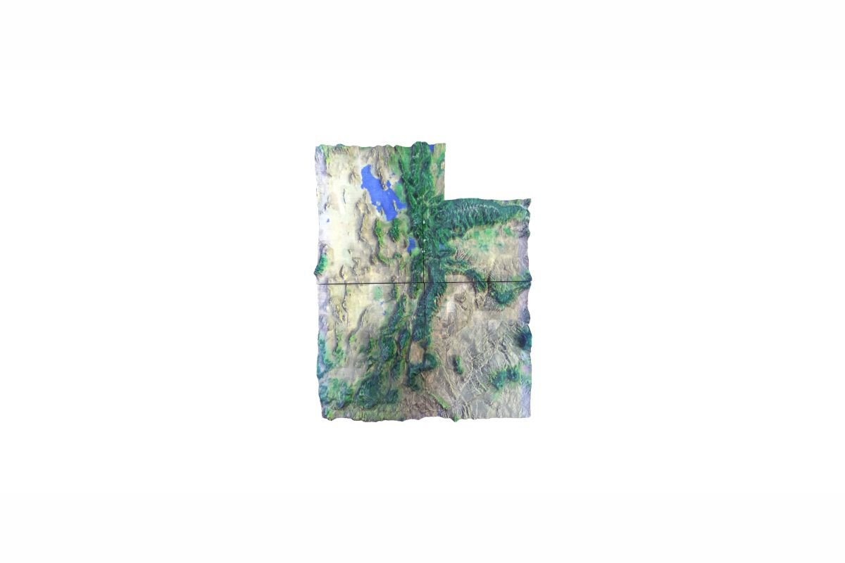
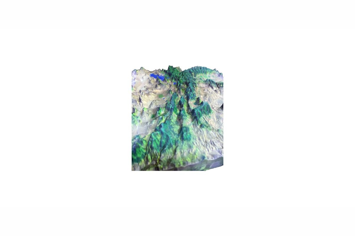
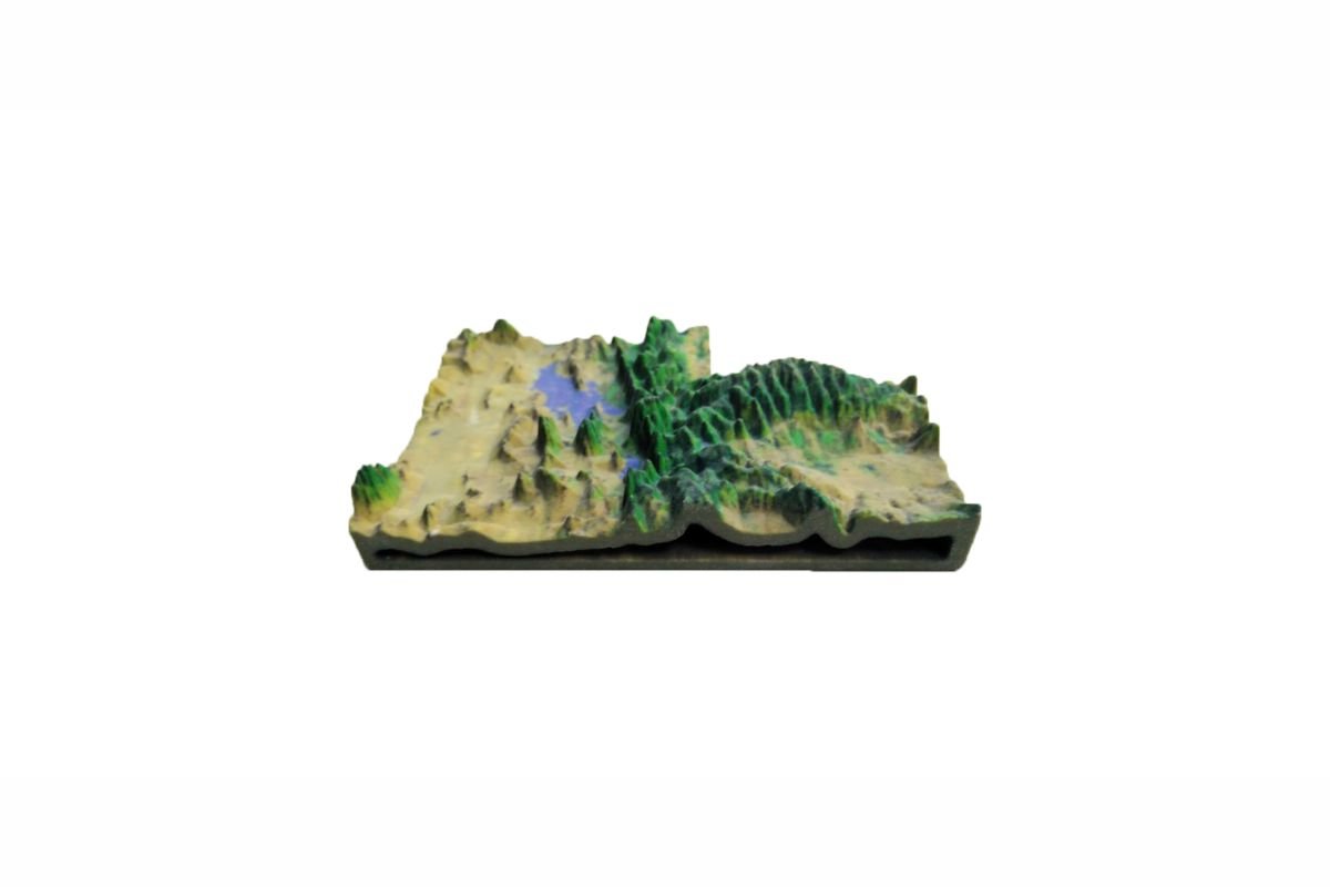
ComeTrue® full-color 3D printer can transform geo-spatial models into colorful real models.
Taking advantage of 3D modeling software, planimetric map and geographic information, the models of historical relics and terrain models are built. ComeTrue® 3D Printer applies 3D digital files to academic teaching, exhibition commentary and study analysis.
Furthermore, it also may integrate to 3D print other information such as Architecture.
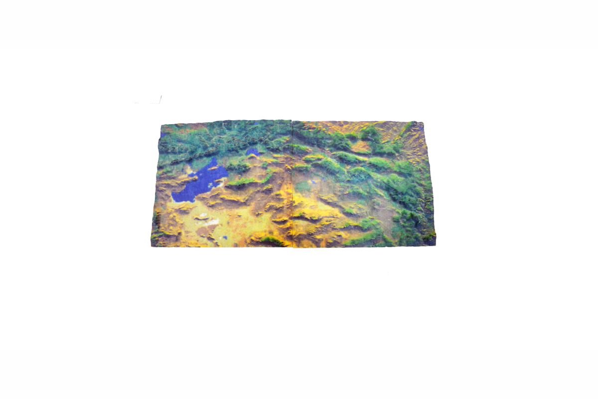
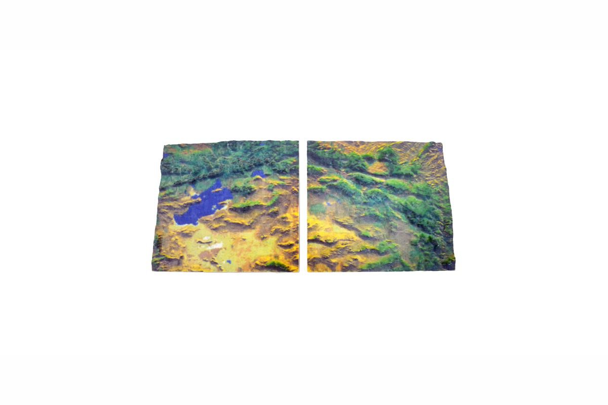
*Using 3D printing repair software to separate the 3D files, bigger models can be built separately and merged together.
You can get full-color 3d printable models here for free.
ComeTrue Slice: GeoSpatial
ComeTrue Print: GeoSpatial